
Cairngorms
Contents
Legend/Myth Opener
The Cairngorms plateau is often marketed simply as "wild Highland wilderness," a phrase that glosses over how thoroughly the surrounding landscape has been shaped by centuries of deer-stalking estate management, 20th-century ski development, and a reintroduced reindeer herd that is not, in fact, a native wild population but a semi-domesticated one established by deliberate human choice in 1952.
TL;DR
- established The Cairngorms National Park, designated in 2003, is the largest national park in the United Kingdom at 4,528 km² — stated precisely because it is frequently and incorrectly assumed that Loch Lomond and the Trossachs, Scotland's other national park, is larger.
- established The high plateau's granite was emplaced around 427 million years ago during the Caledonian mountain-building episode, confirmed by radiometric dating — this is stated directly because "ancient" is often used loosely in tourism material without the actual figure.
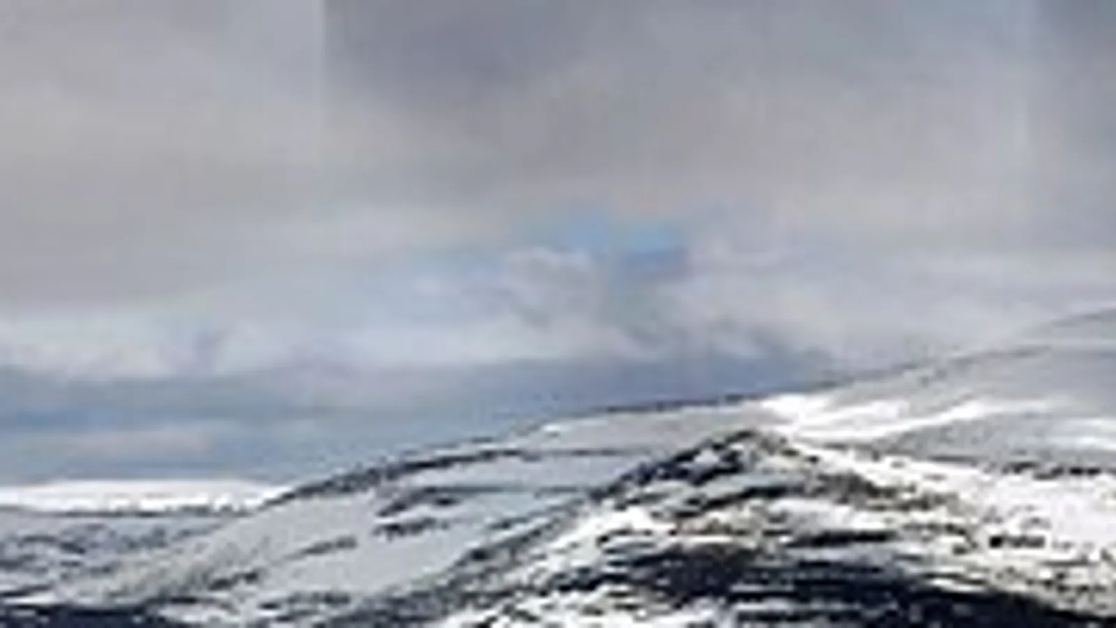
- established The Cairngorms plateau genuinely experiences a sub-Arctic, tundra-like climate with long-lasting snow patches and specialist arctic-alpine wildlife, despite sitting at a latitude and altitude that might not suggest it — this is stated directly because the comparison to true Arctic terrain is accurate ecology, not hyperbole.
- established The British Isles' only herd of reindeer, roughly 150 animals in the Cairngorms, is semi-domesticated and was deliberately introduced in 1952, not a surviving wild native population — this distinction matters because visitors sometimes assume they are seeing genuinely wild reindeer.
- traditional The Cairngorms' long association with royal deer-stalking, particularly via nearby Balmoral, is well documented in estate history, though the broader cultural image of the region as an unspoiled royal playground understates the extent of commercial estate and ski-industry development across the park.
Key Facts
- Location/Region
- Eastern Highlands, spanning Aberdeenshire, Moray, Highland, and Perth and Kinross
- Height/Area/Scale
- Park area: 4,528 km² (1,748 sq mi); plateau elevation generally 1,000–1,200 m; summits including Ben Macdui (1,309 m, Britain's second-highest peak) rise above that
- Geology/Formation
- Granite pluton emplaced c. 427 million years ago during the Caledonian Orogeny; subsequent erosion and heavy Pleistocene glaciation produced the high plateau, corries, and deep glacial valleys (e.g. the Lairig Ghru)
- Protected status
- Cairngorms National Park (designated 2003, expanded 2010); extensive overlapping SSSI, Special Protection Area, and Special Area of Conservation designations for arctic-alpine habitat and wildlife
- Managed/Owned by
- Cairngorms National Park Authority (statutory planning and management body); land within the park is a mix of private sporting estates, National Trust for Scotland and RSPB reserve land, Forestry and Land Scotland, and NatureScot-managed sites
- Access notes
- Extensive walking, climbing, and skiing infrastructure; the high plateau is a genuine mountain environment requiring navigation and weather skill even in summer; CairnGorm Mountain ski area provides lift access to lower slopes
Scottish Impact Index (SI Score)
- National Significance
- 10/10
- Historical Continuity
- 10/10
- Human & Economic Importance
- 9/10
- Landscape / Architectural Distinctiveness
- 10/10
- Cultural & Historical Legacy
- 10/10
- Recognition
- 9/10
58/60
Ranked =6th of 43 in Locations
A Note on Claims and Evidence
Claims here are tiered as documented (the park's area and 2003 designation, the granite's radiometric age, the sub-Arctic climate classification, the 1952 reindeer introduction date), traditional (long-standing cultural associations such as royal deer-stalking history and whisky-region identity, well supported but not always independently itemised in primary sources for every detail), and legend-myth (romantic claims with no solid evidential basis, including any framing of the plateau as untouched wilderness rather than a landscape substantially shaped by centuries of stalking-estate and, more recently, ski-tourism management).
Timeline
The granite pluton underlying the Cairngorms massif is emplaced during the Caledonian Orogeny, the mountain-building episode that also shaped much of the wider Scottish Highlands.
Repeated glaciation erodes the granite into the high plateau, deep corries, and glacial valleys such as the Lairig Ghru that define the present landscape.
The surrounding straths and glens are settled and farmed, later reorganised extensively for sheep farming and sporting estates through the 18th and 19th centuries, alongside the wider pattern of Highland agricultural change.
Royal associations with the wider region deepen, particularly through Balmoral Estate's development as a royal deer-stalking retreat near the park's eastern edge.
Ospreys are considered extinct as Scottish breeding birds after decades of persecution.
Desmond Nethersole-Thompson finds a dotterel nest in the Cairngorms and, by recognising one female's eggs in a second nest, uncovers the species' polyandry in Britain.
A semi-domesticated reindeer herd is introduced to the Cairngorms, the only such herd in the British Isles.
A returning osprey pair in Strathspey and at Loch Garten has its nests robbed each year.
The RSPB, led in Scotland by George Waterston, opens the Loch Garten osprey nest to public viewing; 14,000 people visit in seven weeks.
CairnGorm Mountain ski area and associated infrastructure develop on the park's slopes, adding a significant tourism and recreation industry to the mountain landscape.
Goldeneye nest on a pine-fringed lochan near Aviemore, the start of their colonisation of Britain; helped by nest boxes, the mainly Spey valley population reaches about 200 pairs by the early 2000s.
The Cairngorms National Park is formally designated, Scotland's second national park after Loch Lomond and the Trossachs (2002).
The park's boundary is expanded to include additional land in Perth and Kinross, bringing it to its current size as the largest national park in the UK.
The park supports a substantial tourism economy (around 1.9 million visits recorded in a recent pre-pandemic year) alongside active conservation and species-recovery programmes.
Details
Geological formation
The Cairngorms' distinctive high, rolling plateau landscape is built on a vast granite pluton — a body of magma that cooled and crystallised deep underground around 427 million years ago, during the Caledonian Orogeny, the same mountain-building collision of ancient continental plates that produced much of the wider Scottish Highland landscape. Granite's relative resistance to erosion, combined with hundreds of millions of years of weathering and repeated glaciation through the Pleistocene, produced the Cairngorms' unusual topography: rather than the sharp, pinnacled ridgelines typical of many Highland ranges carved from more varied rock, the Cairngorms present a series of broad, gently domed plateaux at 1,000–1,200 metres, interrupted dramatically by steep-sided corries and glacial valleys gouged into their flanks. The Lairig Ghru, a deep glacial pass cutting through the massif between Aviemore and Braemar, is among the most dramatic of these features, while Ben Macdui, at 1,309 metres the second-highest peak in Britain after Ben Nevis, rises from the plateau's southern section. This combination of extensive high-altitude plateau and sharply incised glacial valleys is geologically distinctive within Scotland and underlies the region's unusually extensive sub-Arctic habitat.
Human history and historical associations
Human engagement with the Cairngorms landscape has followed patterns familiar across the wider Highlands: subsistence settlement in the surrounding straths and glens gave way, through the 18th and 19th centuries, to large-scale reorganisation around sheep farming and, increasingly, sporting estates dedicated to deer-stalking and grouse shooting — a transformation that, as elsewhere in the Highlands, involved significant displacement and depopulation of earlier agricultural communities. The region's association with royalty deepened through the 19th century via the development of Balmoral Estate near the park's eastern margin as a royal deer-stalking retreat, cementing a cultural image of the wider Cairngorms as aristocratic sporting country that persists in tourism branding today, even though the park's actual land use is considerably more varied, encompassing conservation estates, commercial forestry, and a substantial ski-tourism industry alongside traditional sporting estates. The 20th century added a further distinct layer: the deliberate introduction of a semi-domesticated reindeer herd in 1952, now the only such herd in the British Isles, and the development from the 1960s onward of CairnGorm Mountain as a significant Scottish ski area, bringing lift infrastructure and associated tourism development onto slopes that popular description still frequently calls untouched wilderness.
Ecology and distinctive natural features
The Cairngorms plateau supports Britain's most extensive area of genuinely sub-Arctic, tundra-like habitat, a consequence of its combination of altitude, exposure, and northern latitude producing conditions — long-lasting snow patches, permafrost-influenced ground features in places, and specialist arctic-alpine plant and animal communities — that are genuinely comparable to true Arctic environments despite Scotland's relatively temperate overall climate. The plateau and surrounding forests support breeding populations of ptarmigan, dotterel, golden eagle, capercaillie (one of Britain's rarest and most threatened woodland grouse species), and the Scottish crossbill, Britain's only endemic bird species. Remnant Caledonian pinewood survives in parts of the park, particularly around Strathspey and Deeside, forming part of the wider native pinewood landscape covered separately in this collection. Red deer populations across the estates within the park remain central to both the region's ecology and its ongoing land-management debates around deer density, habitat regeneration, and rewilding.
Birds of the high tops and the Speyside forests
established Mark Cocker and Richard Mabey, in Birds Britannica (2005), treat the Cairngorms as the heart of Britain's arctic-alpine bird life. Only five or six species share the boulder-strewn heath of the high tops with the ptarmigan, and the ptarmigan alone stays through the winter. Its odd spelling, with a silent "p", was coined by the seventeenth-century Scottish physician Sir Robert Sibbald from the Gaelic tàrmachan, "croaker", after its dry, rattling call. The book also notes the cost of the ski industry: on Cairngorm, ptarmigan collide with ski-lift wires, and litter draws in hooded crows that take their eggs.
established The dotterel nests on the plateau tops, seldom below about 900 metres in Scotland. Its roles are reversed: the brighter female courts the male and often leaves him to incubate and rear the chicks. In June 1934 Desmond Nethersole-Thompson found a Cairngorm nest with the distinctive eggs of a female he called "Blackie", then found a second clutch of hers being incubated by another male. It was the first proof of this behaviour in Britain. He and his family went on to camp for "hundreds of nights on the roof of Scotland", and their work also underpins what is known about the Cairngorm snow buntings. That tiny population, first found in the late nineteenth century, is the most southerly of the species anywhere and had grown to 70–100 pairs in good years by the time the book was written. One snow bunting nest found by Brock Nethersole-Thompson was lined with deer hair, mountain-hare fur, dotterel feathers and 567 ptarmigan feathers.
established The forests of Strathspey have their own story. Ospreys were considered extinct in Scotland by 1916. When a pair returned, their nests in Strathspey and at Loch Garten were robbed every year from 1955 to 1958, once with the real eggs swapped for hen's eggs daubed with boot polish. In 1959 the RSPB, prompted by George Waterston, took the bold step of letting the public watch the Loch Garten nest. "Operation Osprey" drew 14,000 visitors in its first seven weeks and some two million by the time the book was written. The authors argue that no single group of birds has done more to win public goodwill for nature in Britain.
traditional The Speyside pinewoods are also home to famously aggressive capercaillie. Birds Britannica records a bird in Rothiemurchus forest that attacked children on their way to school, and a male nicknamed "Mad George" on the RSPB's Abernethy reserve in the 1990s, which ambushed walkers and knocked over mountain bikers. These are anecdotes collected from contributors rather than studied behaviour, but such displays by territorial males are well known.
National identity, recreation, and tourism
The Cairngorms occupy a distinctive place in Scottish outdoor culture as the country's premier high-plateau mountain and winter sports landscape, drawing hillwalkers, climbers, skiers, and increasingly mountain bikers to a park that, since 2003, has been the largest in the United Kingdom by area. Tourism forms a substantial part of the regional economy, with visitor numbers in the millions annually and whisky tourism adding a further distinct identity: several well-known distilleries, including Dalwhinnie, The Glenlivet, Tomintoul, and Royal Lochnagar, operate within the park's boundaries, linking the Cairngorms to Scotland's wider whisky heritage. This blend of genuine wild high-mountain terrain, managed sporting estates, ski infrastructure, and whisky tourism makes the Cairngorms a useful corrective to any single, simplified "untouched wilderness" narrative — the park authority's own conservation and visitor-management work operates precisely because the landscape's wildness coexists with, rather than excludes, substantial human economic activity.
Did You Know?
- The Cairngorms National Park, at 4,528 km², is larger than several entire UK counties and is the largest national park in the United Kingdom, not merely in Scotland.
- Ben Macdui, within the Cairngorms, is Britain's second-highest mountain after Ben Nevis.
- The British Isles' only reindeer herd lives in the Cairngorms — but it is semi-domesticated, deliberately introduced in 1952, not a surviving wild native population.
- The Cairngorms plateau experiences genuinely sub-Arctic, tundra-like conditions, including long-lasting snow patches that in some years persist year-round in sheltered corries.
- The Scottish crossbill, found in Cairngorms pinewoods, is Britain's only endemic bird species, found nowhere else in the world.
- The granite underlying the Cairngorms is around 427 million years old, formed deep underground during the same mountain-building episode that shaped much of the Highlands.
- The Lairig Ghru, a deep glacial pass through the massif, has been used as a crossing route between Speyside and Deeside for centuries, long before it became a popular hillwalking challenge.
- Several of Scotland's best-known whisky distilleries, including Glenlivet and Dalwhinnie, operate within the Cairngorms National Park's boundaries.
- The word "ptarmigan" comes from the Gaelic tàrmachan, "croaker"; the silent "p" was added in the seventeenth century by Sir Robert Sibbald.
- The Loch Garten ospreys, first shown to the public in 1959, had drawn some two million visitors by the early 2000s.
- One Cairngorm snow bunting nest was found to contain 567 ptarmigan feathers.
FAQ
1How big is the Cairngorms National Park?
4,528 km² (1,748 sq mi), making it the largest national park in the United Kingdom.
2When was the Cairngorms National Park created?
It was designated in 2003, Scotland's second national park after Loch Lomond and the Trossachs in 2002, and its boundary was expanded in 2010.
3What is the highest point in the Cairngorms?
Ben Macdui, at 1,309 m, the second-highest mountain in Britain.
4Are there really reindeer in Scotland?
Yes — a semi-domesticated herd of around 150 reindeer has lived in the Cairngorms since being introduced in 1952, the only such herd in the British Isles.
5Is the Cairngorms plateau dangerous to walk on?
It is a genuine high-mountain environment with rapid weather changes, limited shelter, and navigation hazards even in summer; appropriate equipment, skill, and planning are essential.
6Can you ski in the Cairngorms?
Yes — CairnGorm Mountain operates a ski area with lift access, one of Scotland's principal ski destinations.
7What towns are near the Cairngorms National Park?
Aviemore and Braemar are among the main service towns within or adjacent to the park.
8Is the Cairngorms National Park the same as the Cairngorms mountain range?
The park includes the Cairngorms massif itself plus substantial surrounding land in Aberdeenshire, Moray, Highland, and Perth and Kinross, so the park boundary extends well beyond the high plateau alone.
9What wildlife can you see in the Cairngorms?
Golden eagle, ptarmigan, dotterel, capercaillie, Scottish crossbill, red deer, and the reindeer herd, among many other species across its varied habitats.
10Why are the Loch Garten ospreys famous?
Ospreys returned to Strathspey in the 1950s after extinction in Scotland, and their nests were repeatedly robbed. In 1959 the RSPB chose to guard the nest openly and invite the public to watch, and "Operation Osprey" became a national story followed on BBC television.
11Has skiing affected Cairngorm birds?
Yes. Birds Britannica (2005) records ptarmigan colliding with ski-lift wires and litter attracting hooded crows that take their eggs, though some ptarmigan have become used to people and nest near the lift pylons.
12Does the Cairngorms National Park include whisky distilleries?
Yes — several well-known distilleries, including Glenlivet, Dalwhinnie, Tomintoul, and Royal Lochnagar, sit within the park's boundaries.
13What is the best time to visit the Cairngorms?
Summer offers the most accessible hillwalking conditions; winter brings skiing and dramatic snow scenery but requires appropriate mountain safety awareness.
14Is the Cairngorms landscape natural wilderness?
Large parts feel genuinely wild, but the wider landscape has been substantially shaped by centuries of sporting-estate management, forestry, and more recent ski-tourism development; it is not an untouched wilderness in the strict sense.
Sources and Further Reading
Primary/Institutional
- Cairngorms National Park Authority — facts, figures, and management information
- NatureScot — SSSI, SPA, and SAC documentation for Cairngorms sites
- Scottish Geology Trust — "The Cairngorms: A subarctic landscape carved out of granite"
Scholarly/Critical
- British Geological Survey — Caledonian granite pluton studies of the eastern Highlands
- Mark Cocker and Richard Mabey, Birds Britannica (Chatto & Windus, 2005)
- Peer-reviewed ecological research on Cairngorms arctic-alpine habitat and capercaillie conservation
General
- Cairngorms National Park — Wikipedia
- VisitScotland — Cairngorms National Park visitor information
- Cairngorms National Park Authority — visitor and facts/figures publications
Caveats: Myths and Disputed Claims
- Do not describe the Cairngorms' reindeer herd as a surviving wild native population; it is semi-domesticated and was deliberately introduced in 1952.
- Avoid framing the whole park as "untouched wilderness" — substantial parts have been shaped by sporting-estate management, commercial forestry, and ski-tourism infrastructure.
- Do not conflate the Cairngorms National Park (a large administrative and conservation designation covering 4,528 km²) with the Cairngorms mountain massif alone; the park includes much wider surrounding land.
- The region's royal associations, chiefly via nearby Balmoral, should be presented as a real but partial element of the area's identity, not as defining the whole park's character or land use.
- Any claim that the Cairngorms plateau is "Arctic" rather than "sub-Arctic/tundra-like" should be corrected — the climate classification used by ecologists is sub-Arctic or arctic-alpine, a meaningful but distinct category from true polar Arctic conditions.
Card 016 · Locations